
Watershed Management Plan
Our Ten-Year Plan
The Watershed Management Plan (WMP) guides how we will work alongside partners toward our vision of a balanced urban ecology in ways that improve water quality, reduce flooding, and benefit people and the communities in which they live, work, and play.
To accomplish this, we must understand the goals and priorities of our communities. That’s why our work is built on the value of partnership and integrates the watershed’s natural resource needs with those of the built environment.
Using data to map the specific issues across the watershed, as well as what drives those issues, the management plan outlines collaborative strategies to improve ecological health and achieve complementary public and private goals.
To review elements of the WMP in a visual format, explore our Watershed Strategies storymap.
Aligning Plans & Investments

Our Goals
Four strategic goals focus and guide our work as an organization and ensure the Plan supports a variety of connected outcomes.

Water Quality

Water Quantity

Ecological Integrity

Thriving Communities
Planning in Regional Contexts
MN Statutes require that local government units prepare local water management plans after a watershed management plan is approved or amended, to make sure that all communities are working toward common goals for water resources. This planning framework reflects the legislature’s intent to integrate regional development patterns and natural systems. As the regional water resource authority, MCWD is responsible for understanding the watershed’s natural resources, and coordinating with local governments across our 178-square mile region to align water resource priorities and incorporate our understanding of natural systems into the development landscape.
Read the Plan
The Watershed Management Plan is available for viewing and download. It is organized into three volumes and two appendices.
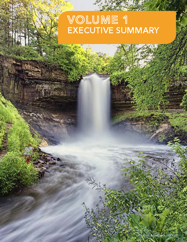
Executive Summary
Reviews MCWD purpose, structure, and approach, and outlines primary watershed issues and projects.
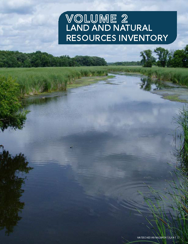
Land and Natural Resources Inventory
Includes data on watershed topography, soils, geology, precipitation, water quality, conservation areas, and more.
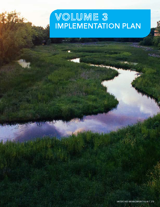
Implementation Plan
Defines issues, drivers, and management strategies for each of MCWD’s 11 subwatersheds, and establishes priorities based on resource needs.
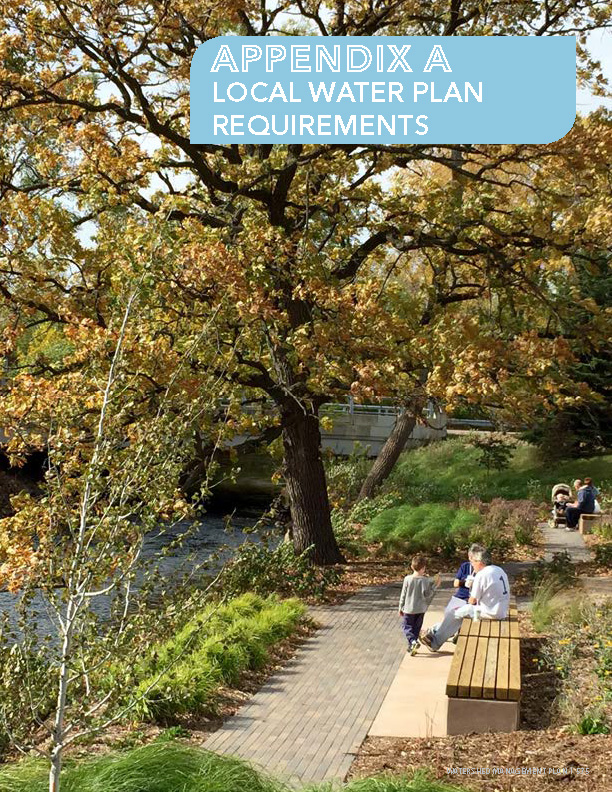
Local Water Plan Requirements
Describes approach and specific requirements against which MCWD will review local water management plans.
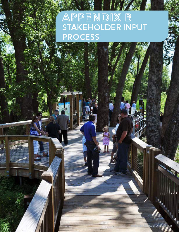
Stakeholder Input Process
Outlines MCWD engagement process for stakeholders, developed to support collaboration with communities to align land use and water resource priorities.

