Focal Geographies
Focus for Lasting Improvements
Within focal geographies, we act as a convener to bring together cities, counties, park districts and others involved in land use change to identify specific areas of need within the watershed and develop a coordinated implementation and investment plan to significantly improve the area’s water resources.
This approach creates opportunities to forge deeper relationships, align plans and goals, achieve a critical understanding of an area’s natural, social, and economic systems, and implement high-impact improvement projects that bring lasting, shared benefits.

Our Focal Geographies
The MCWD Watershed Management Plan outlines how we choose and work in focal geographies. The process considers these factors:
- Severity of water resource issues and impairments
- Public value of water resources
- Local support and partnership opportunities
- Opportunity for impact with land use change
- Potential funding opportunities
We currently work in two focal geographies: the Six Mile Creek-Halsted Bay Subwatershed and the Minnehaha Creek Greenway.

Six Mile Creek-Halsted Bay
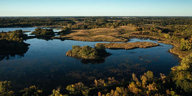
Six Mile Creek-Halsted Bay is a 27-square-mile subwatershed west of Lake Minnetonka. As the headwaters of the entire watershed, large-scale improvements in this area can provide lasting benefits far downstream. This focal geography is experiencing significant growth and development, which creates unique opportunities for integrated land use and water resource planning.

Minnehaha Creek Greenway
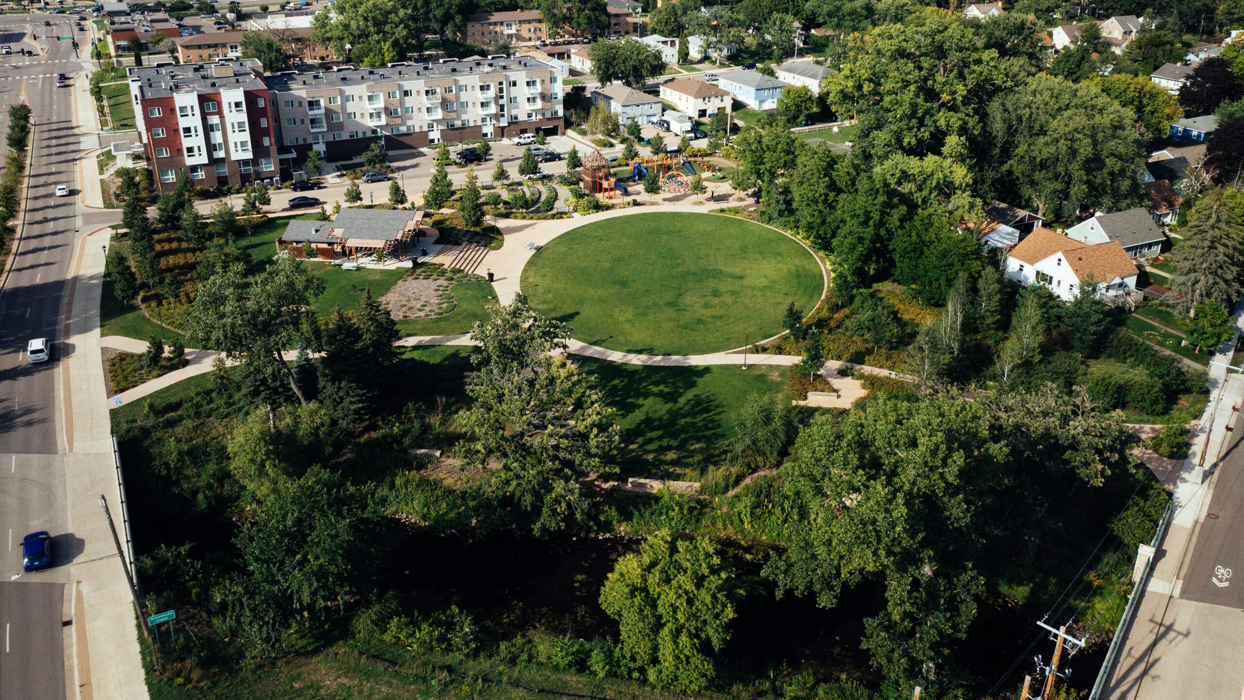
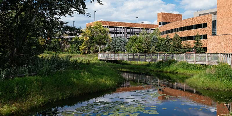
The Minnehaha Creek Greenway is a series of connected projects in Hopkins and St. Louis Park that represent the largest urban stream restoration in the Twin Cities Metro Area, conducted along the creek’s most degraded stretch. Through partnership and a shared vision, the Greenway brings significant environmental, social, recreational, and economic benefits to the area.
