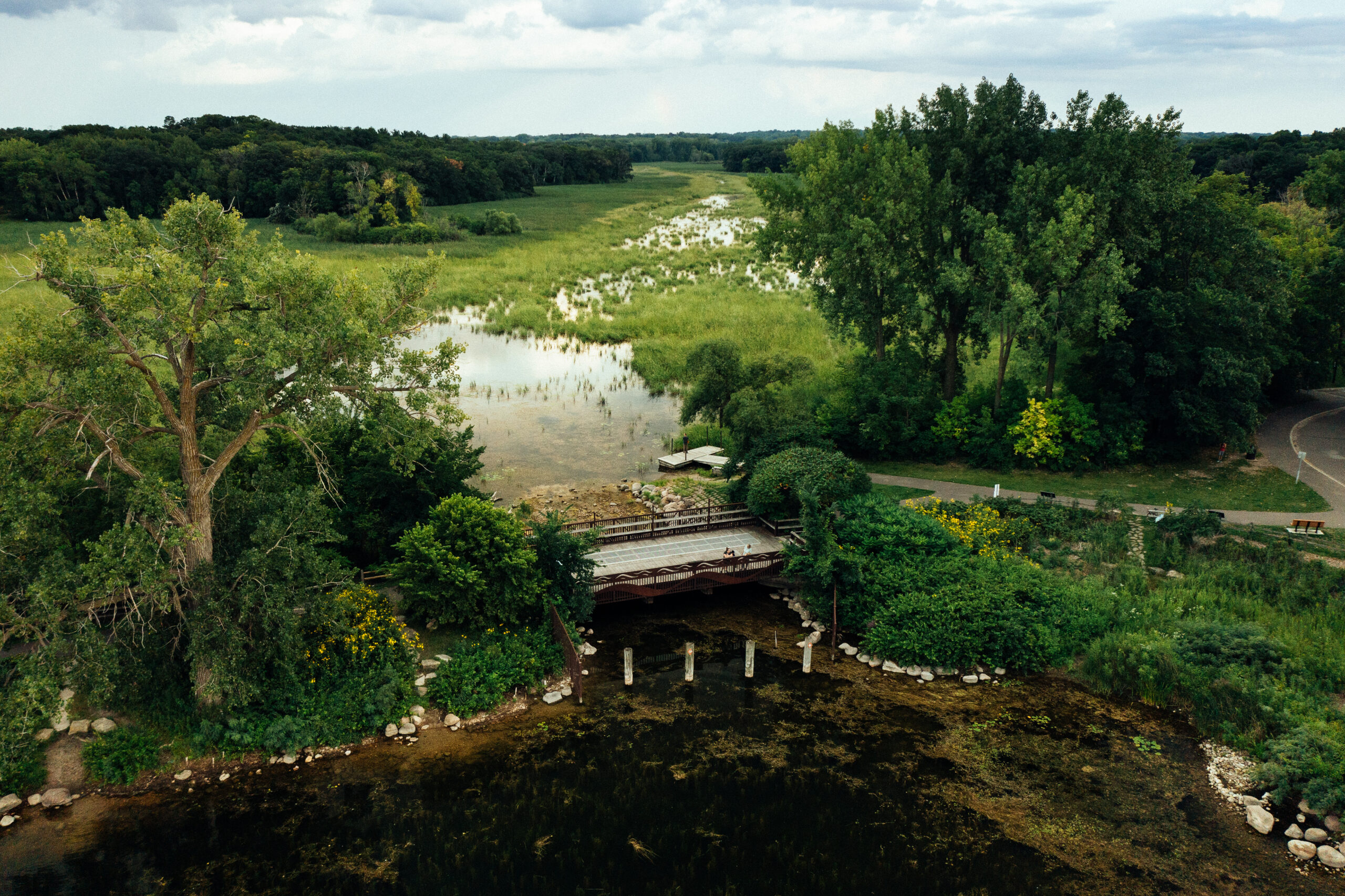
One of the reasons Minnehaha Creek Watershed District (MCWD) was formed in 1967 was to respond to devastating flooding along Minnehaha Creek and Lake Minnetonka. The first order of business of the newly-formed district was to build an adjustable dam at the headwaters of the creek, where it flows out of Lake Minnetonka.
Coming up with a plan to operate the dam was complicated. It took nearly 10 years and involved multiple stakeholders, including all of the affected communities, the Minnesota Department of Natural Resources and the U.S. Army Corps of Engineers. Using historical lake elevations, the plan was developed to mimic natural hydrologic conditions throughout the year and to account for changing weather. MCWD still uses this scientific model to manage water levels and coordinates with the National Weather Service to provide even more tailored management of the dam.
The management goals of the dam are:
- reduce flooding
- keep water in the creek during dry periods
- enhance recreation, wildlife, and aquatic life
- improve or maintain conditions on the lake and creek.
The operating plan prescribes dam discharge zones which are dependent on the time of year, the existing lake level, downstream capacity in Minnehaha Creek, and forecasted precipitation. The dam is operated spring through fall and is closed during the winter. The dam began discharging water on April 19 to lower lake levels prior to the spring snowmelt and rainfall. With the help of Tonka Bay Marina, we installed aerators to break up the ice around the dam so it could be operational prior to ice-out.
In 2014, the Twin Cities saw the wettest first half of the year since modern day record keeping began in 1871. Coupled with a long winter and late snowmelt, this extreme precipitation led to record water levels and more than $1 million worth of damage along the six main streams in the MCWD. For 83 consecutive days, Gray’s Bay Dam was unable to control water levels on Lake Minnetonka or Minnehaha Creek because of the high water levels.
After the flooding in 2014, and in the face of climate change and more unpredictable weather, MCWD formed a formal partnership with the National Weather Service with the goal of anticipating rain events to more proactively manage the Gray’s Bay Dam. As part of the collaboration, NWS provides MCWD with seven-day precipitation forecasts, broken down into six-hour increments, for the area that drains to Lake Minnetonka and modeling of water that is flowing into Lake Minnetonka, which helps MCWD predict lake levels.

This information allows MCWD to lower dam discharge before large rain events. This results in less water flowing into the creek, preventing flooding in downstream communities where the creek is also impacted by runoff from the landscape primarily through stormwater pipes. As soon as the creek is able to handle additional water, discharge is increased to prevent flooding on Lake Minnetonka. During dry periods, MCWD lowers dam discharge to prevent Lake Minnetonka’s water level from dropping too low, while maintaining water in the creek.
The success of the district’s partnership with the National Weather Service was highlighted in 2016, which was the wettest year on record in the Minnehaha Creek watershed. Because of the information provided by the weather service, MCWD was able to operate the dam in a way that prevented flooding on both Lake Minnetonka and Minnehaha Creek during the record-breaking rainy weather.
For those of you who like to paddle, Minnehaha Creek is a great place to kayak and canoe. We recommend paddling the creek when the creek flow is between 75 – 150 cubic feet per second.
